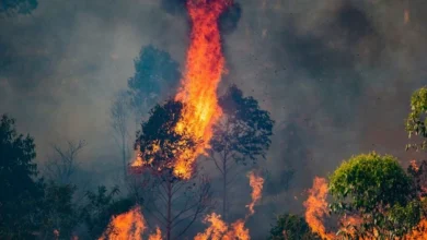
Severe Storms and Flash Floods Could Impact Areas From the Plains to the East Coast

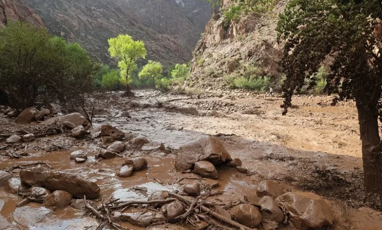
A powerful and long-lasting weather system is about to test communities from the heart of America to the Atlantic shoreline. Meteorologists are tracking a multiday severe storm pattern that will bring flash flood threat danger, damaging wind gusts and large hail as it travels eastward over the coming days.
What Is Driving This Weather System
A slow-moving area of low pressure is pulling in unusually humid and unstable air from the Gulf of Mexico. This moisture, combined with a stalled front, is creating the right setup for storms capable of dumping two to three inches of rain per hour in some spots. Soils in several states are already soaked from earlier rain, which raises the chance of rapid flooding even from moderate showers.
How the Storm Threat Will Move
- Storms begin over the Northern Plains and High Plains, including Montana and the Dakotas
- The system pushes into the Midwest, with Iowa and nearby states facing a heightened flash flood risk
- Activity then shifts toward the Ohio Valley and mid-Atlantic region
- The storm train finally reaches the East Coast, affecting areas from the Carolinas up toward the Northeast
Why the Flash Flood Risk Is So Serious
Flash floods can build within minutes, often overwhelming drainage systems in cities and low-lying rural roads alike. Unlike a slow-rising river flood, a flash flood gives very little warning time, which makes preparation essential rather than optional. This kind of severe weather can also bring hail and sudden wind gusts strong enough to snap tree branches and knock out power lines.
Safety Checklist for Residents
- Keep a weather alert app active on your phone with location-based notifications turned on
- Avoid driving through flooded roads, since it takes only a small amount of moving water to sweep a vehicle away
- Charge power banks and torches in case of outages caused by damaging winds
- Store important documents and emergency contacts in a waterproof bag or a cloud folder
- Follow official alerts from your national weather agency rather than relying only on social media
A Global Lesson in Storm Readiness
Even outside the United States, this event is a reminder that climate patterns are producing more intense rainfall bursts worldwide. Communities everywhere, whether relying on local government flood warning systems, community radio, or mobile apps, benefit from having a clear family emergency plan ready before storms strike.
Conclusion – Flash Flood Threat
This multiday severe storm and flash flood threat is a serious reminder that preparation saves lives. Track local alerts, avoid floodwater, and keep an emergency kit ready, because staying informed is the simplest way to stay safe.
Track the latest climate changes.
Is Your Seafood Becoming Riskier?
Find how El Niño affects ocean pollution.
Why Are Heatwaves Getting Worse?
Check out the link between monsoons and El Niño.
What Happens During Super El Niño?
See the major weather changes ahead.
Could Food Prices Rise Soon?
Uncover how climate affects grocery costs.
How Will Weather Patterns Change?
Get to know this summer’s biggest climate shifts.