NOAA 2026 Hurricane Season Outlook: How El Niño Will Lower Atlantic Storm Risks This Summer
NOAA's 2026 hurricane season outlook suggests El Niño may reduce Atlantic storm activity, but experts warn coastal regions should remain prepared.

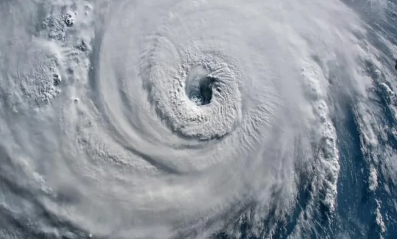
The Atlantic hurricane season of 2026 is now in effect with forecasters analysing the effects of El Niño on storm development over the Atlantic Ocean. While all hurricane seasons are unpredictable, climate scientists will use the presence of a developing El Niño as an indication that there will be fewer tropical storms and that they will have lower intensity this summer than during average hurricane seasons.
The Atlantic hurricane season runs from June 1 until November 30. This season will normally generate multiple named storm events, hurricanes and major hurricanes. However, the atmospheric patterns this year may not favour widespread storm production.
How El Niño Affects Hurricanes
Strong wind shear may:
- Disrupt the formation of developing tropical systems
- Tear apart thunderstorms before they become well formed
- Impose limits on hurricane intensification
- Reduce the total amount of rainfall associated with the storm
As a result, the average number of hurricanes being produced during El Niño years is quantitatively lower than in non-El Nino years.
Does Lower Risk Mean No Hurricanes?
Even when an El Niño exists, it is still possible for hurricanes to develop and for those hurricanes to make landfall. In fact, it only takes one hurricane of sufficient strength to impact a population centre on the coast to result in significant damage from that hurricane.
Residents who live in regions where hurricanes are common should still:
- Review their emergency plan
- Prepare evacuation routes
- Stock up on emergency supplies
- Monitor frequently updates from NOAA regarding current weather forecasts and prevailing conditions.
What NOAA Is Monitoring
NOAA will continue to monitor:
- Ocean temperatures in the Southern Pacific
- Ocean temperatures along the Eastern Sea Surface
- Patterns of wind shear
- Activity of tropical waves
- Forecast models that extend over a long term from six to twelve months out.
India Rain Alerts, Cyclone Updates & Monsoon Watch
Explore Bay of Bengal low pressure update?
Discover coastal cities expecting heavy rain tonight.
Check Assam Meghalaya dangerous road routes?
Explore areas affected by heavy rainfall and alerts.
Discover Srinagar Shimla thunderstorm travel safety?
Check whether hill station travel is advisable this week.
Explore India monsoon arrival rainfall forecast?
Discover expected rain trends for Mumbai and North India.
Check Delhi airport delays sudden rainstorms?
Explore why storms are disrupting flight schedules.
Final Words
While the El Niño phenomenon may contribute to diminished levels of activity during the 2026 Atlantic hurricane season, experts stress that a reduced risk does not mean that there is no risk at all. Weather conditions can change very rapidly and, while an Atlantic hurricane season may seem to be relatively quiet, it is still possible to have hurricanes form and do damage.
FAQs
What is El Niño?
El Niño is a climate phenomenon characterized by unusually warm waters in portions of the Pacific Ocean.
How does El Niño relate to hurricanes?
The increased wind shear associated with El Niño results in making hurricane formation easier; thus, it makes hurricane intensity more difficult.
Is it possible for there to be hurricanes during an El Niño year?
Yes. It is indeed possible that hurricanes will be present during an El Niño year.
When does hurricane season begin and end?
The Atlantic hurricane season begins on June 1 and ends on November 30 of each year.