Weak La Niña Into 2026, WMO Says, as Global Weather Extremes Intensify
WMO predicts a weak La Niña through early 2026, influencing global rain, storms, heat, and seasonal climate risks across regions.

A morning with a thin chill, noisy birds near a hazy lake. Reporters check charts, forecasters argue softly, screens glow blue. The line is steady enough. WMO signals a weak La Niña into 2026, a pattern that nudges rain belts, storms, and heat. That’s the headline, and the work ahead.
What Is La Niña and Why It Matters in 2026
La Niña sits inside the ENSO cycle and leans cooler across the central and eastern Pacific. Cooler water tilts winds, pulls cloud bands, and sets off a chain that reaches farms, ports, and power grids. Small ocean changes, large land outcomes. In 2026, the phrase weak La Niña still means shifts in rainfall timing, cyclone behavior, winter feel. Not a footnote. A steering hand that shows up in odd places. That’s how it looks right now.
WMO’s Latest Forecast: Weak La Niña Likely Through Early 2026
The WMO line points to a weak state through late 2025 into early 2026, with neutral conditions possible by spring. Forecast maps show cooler anomalies holding near the Niño 3.4 region, while trade winds keep a firmer push across the Pacific. The pattern stays borderline in spots, yet consistent enough to guide seasonal outlooks.
The agency’s guidance stresses careful weekly tracking. Forecasts breathe. Sometimes they sag, sometimes they sharpen quickly. Feels like real work sometimes.
How a Weak La Niña Could Shape Global Weather Extremes
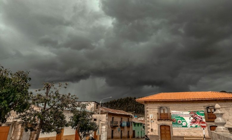
A weak La Niña can still tilt the dice. Flash floods on one coast, crisp dry spells on another. Rivers run louder after cloudbursts, then drop to a slow trickle a few weeks later in a different basin. Heat can spike over land even with cooler Pacific water, because the background climate runs warm.
Cyclone numbers may not jump sky high, yet tracks can shift a few hundred kilometers, which is enough to change landfall risk for a busy port city. One small jog on the map, and logistics teams get no sleep.
Regional Climate Impacts Expected in 2026
Some signals stand out on seasonal maps. Others stay messy. A quick snapshot for planning desks below.
| Region | Possible pattern | Quick example on ground |
| South Asia | Cooler clicks in late winter, patchy pre-monsoon rain | Morning fog thicker, wheat harvest schedules adjusted |
| Southeast Asia | Wetter bursts along windward coasts | Short, loud storms that flood narrow streets in minutes |
| East Africa | Drier pockets, heat holding later in season | Pasture stress, water trucks buzzing at odd hours |
| North America | Storm tracks wobble, cold snaps bite then vanish | Snow one week, slush the next, road salt budgets swing |
| South America | Some southern zones dry, others catch sharp showers | Soy transport windows squeezed, barges wait longer |
| Europe & Middle East | Stormy corridors shift, warm spells intrude | Mediterranean storms hit midweek, then skies clear too fast |
Nothing here is guaranteed. Seasonal guidance hints, it does not promise. That’s the honest line.
How Climate Change Is Altering La Niña’s Influence
Baseline warmth loads the dice, so cooling in the Pacific does not cancel heat on land. Sea surfaces outside the Niño box run hot, fueling moisture. Storms grow taller, carry more rain, then dump hard. Snowlines move uphill. Nights do not cool as they used to, which is tough on grids and crops. And the old playbook for La Niña needs scribbles in the margins now. Maybe they’re right.
Key Climate Indicators Scientists Are Watching in 2026
Teams keep eyes on a few workhorse indicators that tell the story fast.
- Niño 3.4 sea surface temperature departures, the heartbeat of ENSO signals.
- Trade wind strength across the central Pacific, a good shove means cooler water holds.
- Southern Oscillation Index day-to-day swings, pressure seesaws that echo across basins.
- Subsurface heat content near the thermocline, quiet energy that later pops at the surface.
- Jet stream placement over the Pacific and Atlantic, the runway that guides storm traffic.
Quick checks, repeated. No drama, just habit.
What Governments and Communities Should Prepare For
Policy desks, city engineers, farm boards, all need simple steps that fit calendars, not slogans.
- Refresh floodplain maps and stormwater choke points before heavy bursts return.
- Secure backup pumps at hospitals and metro stations, test them at odd hours, not only during drills.
- Schedule canal desilting, small works first, then the bigger bends that always clog.
- Line up seed choices for delayed rain or early cold snaps, with storage ready for swaps.
- Power utilities to stage spares for transformers in heat, and tree-trim crews ahead of gusty weeks.
- Coastal towns to review evacuation signage, lighting, and last-mile buses. People follow clear signs.
- Communicators use short updates, one map, one message, same time each day. Consistency wins.
Sometimes it’s the small habits that matter.
Conclusion
WMO Predicts Weak La Niña to Persist Into 2026, Shaping Global Weather Extremes remains the central line for planners entering the new year. The signal is weak, yet steady enough to guide seasonal choices in water, crops, public works, and risk cover.
Background warmth keeps the floor of temperatures high, so cooling in the Pacific does not guarantee mild seasons. The advice from forecasters sounds plain. Track weekly, adjust early, avoid last-minute panic. Simple work, done on time, saves money and sleep.
FAQs
How can a weak La Niña still affect cities and farms in 2026?
Even a mild cooling in the central Pacific can shift winds and cloud bands, changing rain timing, storm tracks, and irrigation planning across long distances.
Why do heat spikes still occur during La Niña years in some regions?
Baseline warming lifts land temperatures, so cooler Pacific patches cannot fully offset heat, especially during still nights and pre-monsoon weeks.
What should small towns prioritise before heavy rain bursts arrive?
Clear drains near markets, test pumps at clinics, stage sandbags near culverts, and plan traffic diversions on the narrowest lanes in advance.
Which indicators give early hints that La Niña is fading toward neutral?
Niño 3.4 sea temperatures rising toward average, trade winds easing, subsurface heat building, and jet streams shifting back to familiar lanes.
How should power utilities prepare for quick swings between cold snaps and warm spells?
Stock spares for transformers, set flexible maintenance rosters, coordinate tree trimming, and pre-arrange mobile generation for short urban peaks.


