What Is a Cloudburst? Most Sudden and Deadly Flood Disasters in Asia

What is a Cloudburst?
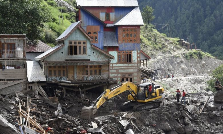
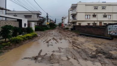
A cloudburst is an extreme form of rainfall that dumps more than 100 mm of rain in under an hour over a small area, typically 10 km² or less. This intense, concentrated downpour can trigger sudden flash floods, mudslides, and landslides, often catching communities unprepared. Cloudbursts are especially dangerous in mountainous or hilly regions, where the steep slopes amplify runoff and destruction.
While the rainfall is the visible danger, the science behind it involves several critical atmospheric conditions:
- Warm, moisture-laden air rises rapidly due to geographical features like mountains (known as orographic lift).
- As the air rises, it cools quickly, causing condensation and forming cumulonimbus clouds.
- When air currents stall, these clouds remain over one spot and release massive amounts of rain in a short time.
- Because these events are highly localized, they often do not show up on broader weather forecasts, making them hard to predict and even harder to prepare for.
What Triggers a Cloudburst?
- Orographic Lift – Moist monsoon winds rising over mountain ranges.
- High Relative Humidity – Conditions with 70% or more humidity at surface levels.
- Low Wind Movement – Prevents cloud dispersion, concentrating rainfall.
- Temperature Gradients – Cause instability and rapid cloud formation.
- Urban Heat Islands – In some cases, city heat may add to convectional lift.
While cloudbursts can happen anywhere, they are most common in Himalayan regions, Western Ghats, and parts of Central Asia. Climate change, especially global warming and increased atmospheric moisture, is believed to be intensifying their frequency and severity.
Recent Cloudburst Disasters in South Asia (2025)
| Country | Location | Date | Rainfall & Impact |
| Pakistan | Skardu, Gilgit-Baltistan | July 15 | 120 mm rain in 45 mins, 50+ dead, major infrastructure collapse |
| India | Ladakh & Himachal Pradesh | August 4 | 12 dead in Ladakh, floods in Kullu & Mandi; army-led rescue ops |
| Bhutan | Trashigang District | July 20 | Flash floods hit rural zones, severe road and farmland damage |
These cloudburst incidents left a trail of destruction, displacing thousands and highlighting the urgent need for better climate preparedness across South Asia.
Read Also : Cloudburst and Climate Change: Explained amid Uttarakhand flash floods tragedy
How Can We Prepare for Cloudbursts?
While it’s difficult to predict exactly when and where a cloudburst will occur, several proactive measures can help reduce their impact:
- Early Warning Systems – Develop local weather stations and satellite-based alerts.
- Disaster-Resilient Infrastructure – Design roads, buildings, and drainage to withstand flash floods.
- Evacuation Plans – Create clear routes and community training in vulnerable zones.
- Rainwater Management – Use check dams and natural catchment systems.
- Environmental Restoration – Reforest hillsides and preserve wetlands to absorb water.
Cloudbursts are among the most dangerous forms of extreme weather, with little warning and devastating consequences. As seen in recent events across Pakistan, India, and Bhutan, the human and economic costs are steep, and likely to rise as climate patterns become more erratic.
Understanding how cloudbursts form and taking community-based, technological, and environmental action is key to saving lives and adapting to this new weather reality. With climate change accelerating, investing in weather resilience and response systems is no longer optional, it’s essential.


