Extreme Downpours Explained: ‘Rain Bomb’ Events in Coasts
What’s Driving ‘Rain Bomb’ Events in Coastal Regions? Explore warming oceans, urban flooding risks, and shifting weather patterns behind extreme rainfall.

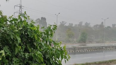
If coastal rain now feels less like weather and more like a sudden water blast, you are not imagining it. “Rain bomb” events are short, violent cloudbursts that unload huge rainfall in a few hours, then trigger flash flooding before drains can respond. The physics is simple: warmer air holds more water vapour, so storms carry a bigger moisture payload. When that moisture meets coastal wind convergence, unstable air, and sea-land friction, rainfall rates jump fast.
Urban growth makes impacts worse because paved surfaces speed runoff, waterways get narrowed, and older drainage networks were not designed for cloudburst intensity.
Why Coastal Rainfall Is Getting More Violent
Global assessments back this trend. WMO explains that heavy rainfall intensity rises as the atmosphere warms, and IPCC assessments report increasing frequency and intensity of heavy precipitation with additional warming. Warmer seas are another amplifier. Copernicus reported record Mediterranean sea-surface warmth in 2024, which increases moisture available to coastal storms.
Recent Reuters coverage based on Copernicus and WMO data also found Europe saw its most widespread floods since 2013. So rain bombs are not one isolated driver; they are a stacked risk from hotter air, hotter seas, vulnerable city design, and dense population exposure along coasts.
Story Signals From 2024–2026
Recent examples are blunt. Valencia’s October 2024 floods brought extraordinary hourly and daily rainfall totals with deadly downstream effects. NOAA’s Helene event tracker documented catastrophic inland flooding from rainfall after landfall. In early 2026, attribution scientists linked southern Africa floods to climate change plus La Niña and high vulnerability. Official social coverage:BBC World on X.
What Cities Can Do Next
What helps now: redesign drainage for cloudburst thresholds, protect floodplains, and issue earlier warnings with clear evacuation routes.
FAQs
1) Is climate change the only reason for rain bombs?
No, warming amplifies moisture, but urban drainage, land use, tides, and forecasting gaps worsen impacts.
2) Why are coastal cities more exposed?
They combine warm sea moisture, dense populations, paved surfaces, and low-lying infrastructure vulnerable to flooding.
3) Can rain bombs happen without cyclones?
Yes, stalled thunderstorms, monsoon surges, or upper-air disturbances can unleash intense local cloudbursts rapidly today.
4) Do sea temperatures really matter that much?
Hotter seas increase evaporation, supplying storms with extra moisture that later falls as concentrated rainfall.
5) What is the fastest adaptation step?
Upgrade drainage standards for short-duration extremes, then pair alerts with evacuation maps and response drills.


